What Is Geofencing in Vehicle Tracking and How Does It Work?
15 October 2026
Understanding GPS Geofencing
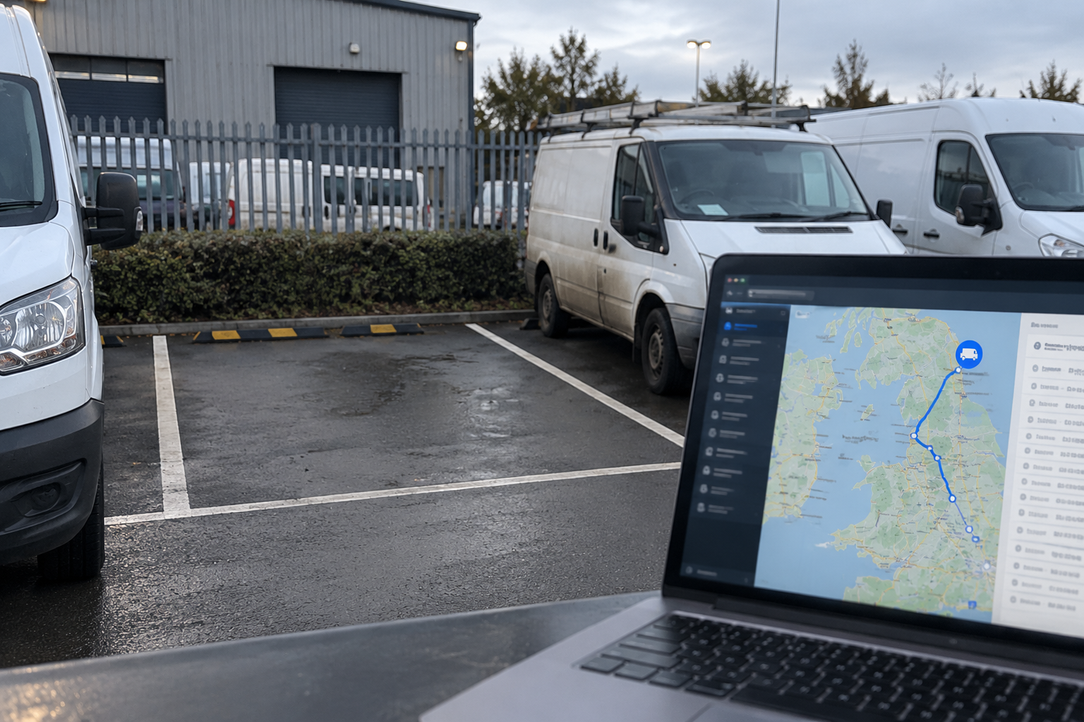
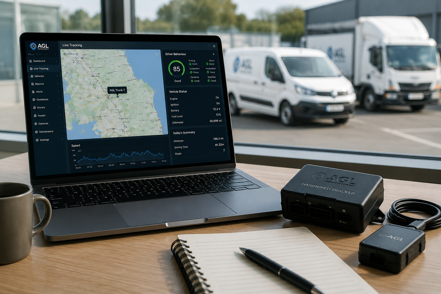
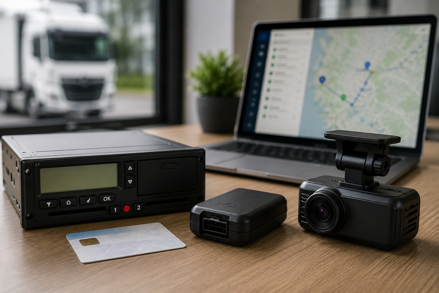
Geofencing uses GPS vehicle tracking to create virtual boundaries around locations such as depots, customer sites and work areas. It helps fleet operators see when vehicles enter or leave designated locations, improving visibility of fleet movements.
1. What Is a Geofence?
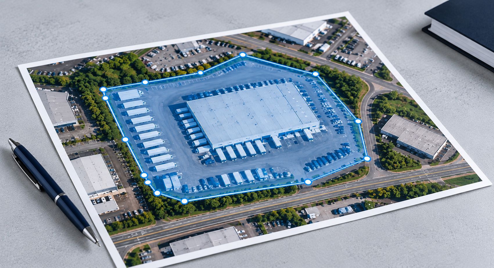
A geofence is a virtual boundary drawn around a geographical area using GPS tracking software. It can cover locations such as depots, construction sites or delivery destinations.
2. How Does Geofencing Work?
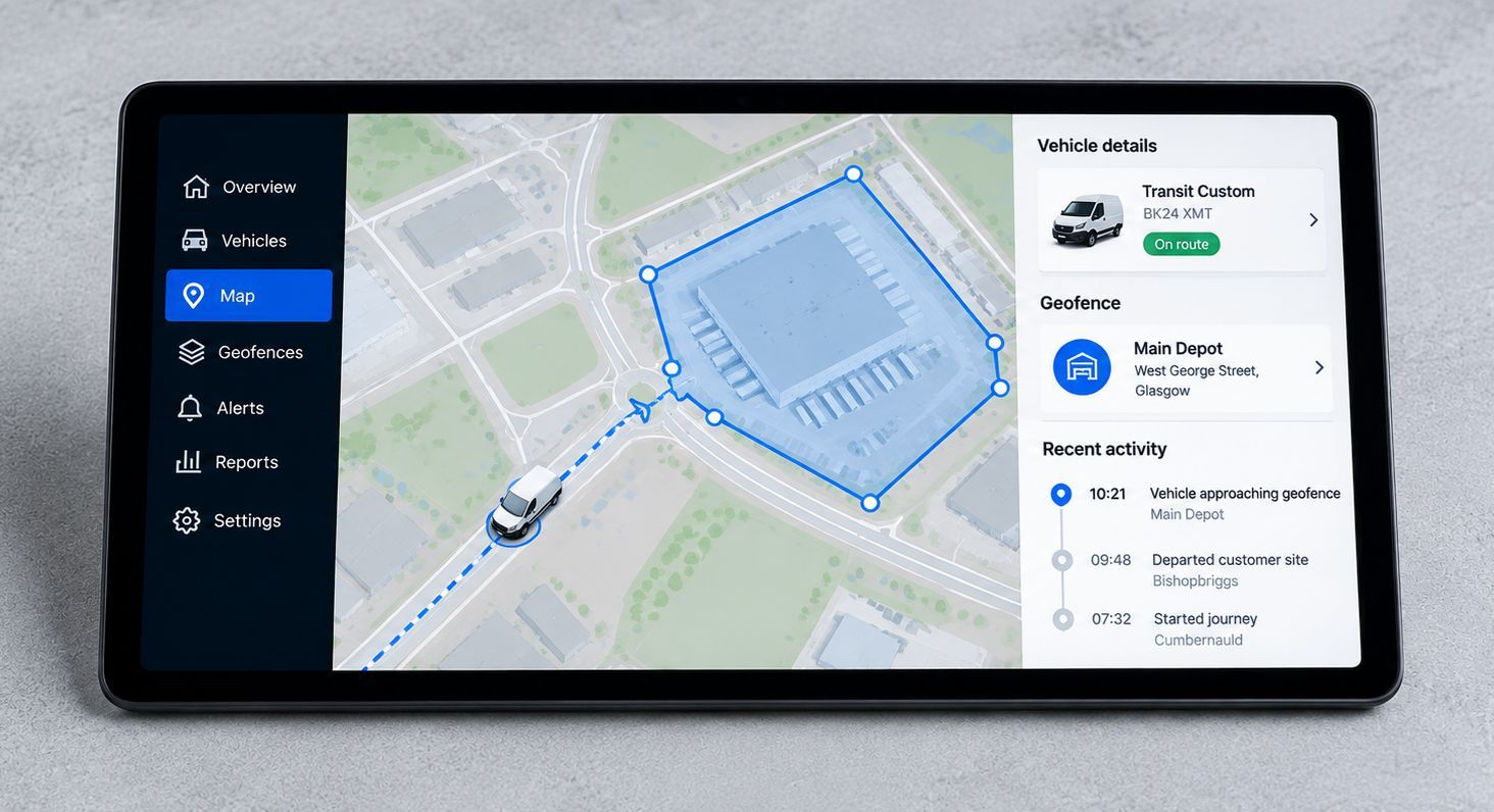
Geofencing compares a vehicle's GPS location with a predefined boundary. When a vehicle enters or leaves the area, the tracking system can record the movement and trigger configured actions.
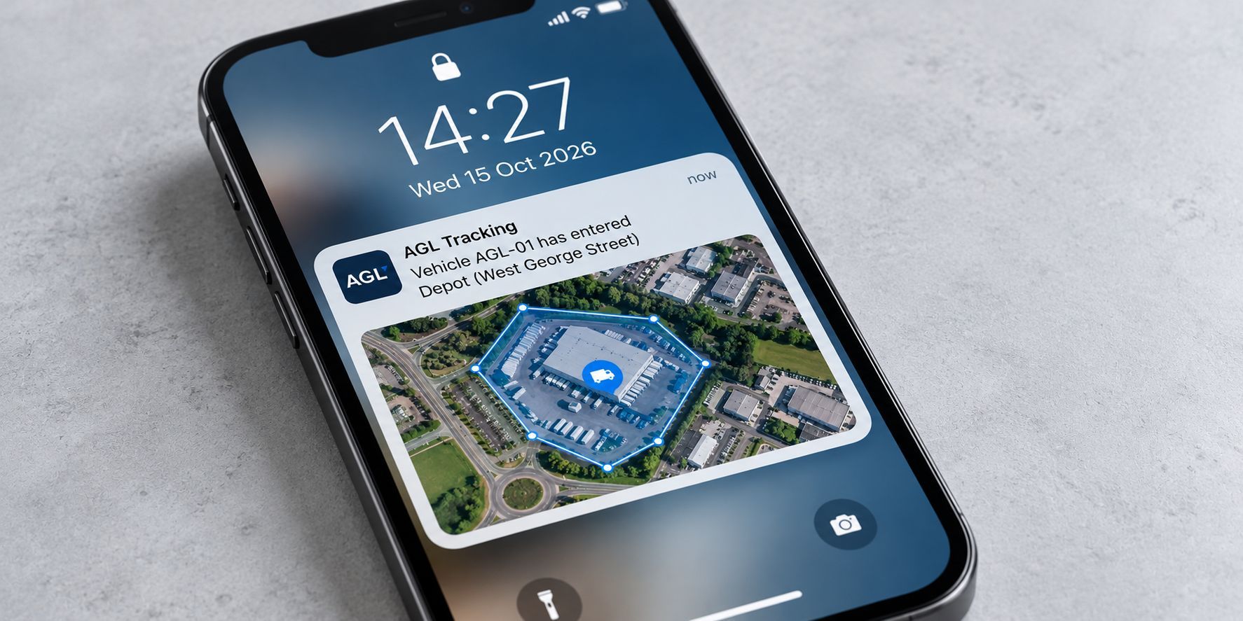
3. What Are Geofencing Alerts?
Geofencing alerts can notify fleet operators when a vehicle enters or exits a designated area, helping them identify unexpected movements and keep track of vehicle activity.
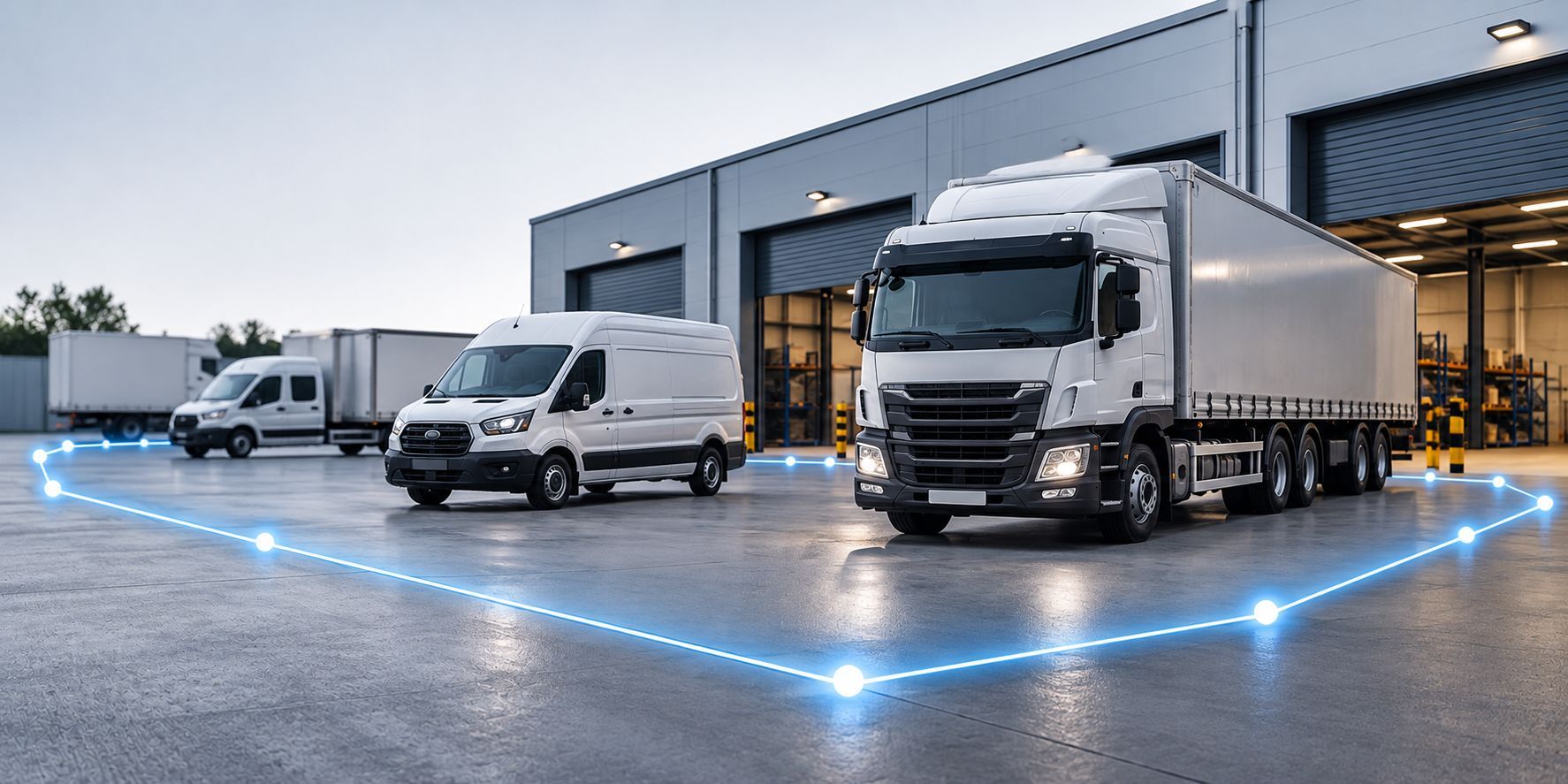
4. Why Use Geofencing?
Geofencing can help businesses monitor depot activity, verify site visits and identify out-of-hours vehicle movements, providing useful information for fleet planning and day-to-day operations.
Geofencing and Fleet Tracking With AGL
Geofencing gives fleet operators another way to understand where their vehicles are operating and when they arrive at or leave important locations.
AGL Vehicle Solutions provides GPS vehicle tracking for commercial fleets across the UK, helping businesses improve visibility and manage vehicle activity.
Want to find out how geofencing could benefit your fleet? Contact AGL to discuss your fleet's requirements.
Ready to get more from your fleet?
See how AGL's vehicle tracking, camera and fleet technology can give you greater visibility, evidence and control.
More Fleet Insights